Earth observation is the gathering of information about the physical, chemical, and biological systems of the planet Earth, and it can be performed via remote-sensing technologies and by ground-based techniques. According to the Group on Earth Observations (GEO), the concept encompasses both “space-based or remotely-sensed data, as well as ground-based or in situ data”. Earth observation involves monitoring and assessing the status of and changes in natural and built environments.
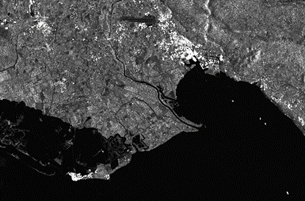
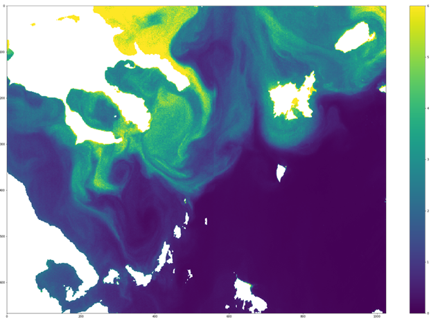
M4D, having actively participated in several projects that consider Earth Observation data, develops solutions that use satellite products and allow the continuous monitoring of areas in water and in land. For example change detection in land, and detection of extreme events (e.g. flood events) / pollution events (e.g. oil spill events) and other phenomena (e.g. algae bloom) in water. The type of data that are considered are either optical or radar data depending on the nature of the problem and the techniques that are considered are state-of-the-art deep learning techniques.
Key research and development activities of M4D in the Earth Observation include:
- Waterbody detection
- Flood monitoring
- Algae bloom level estimation
- Oil spill detection and localisation
- Land change detection and infrastructure monitoring